Site imagery
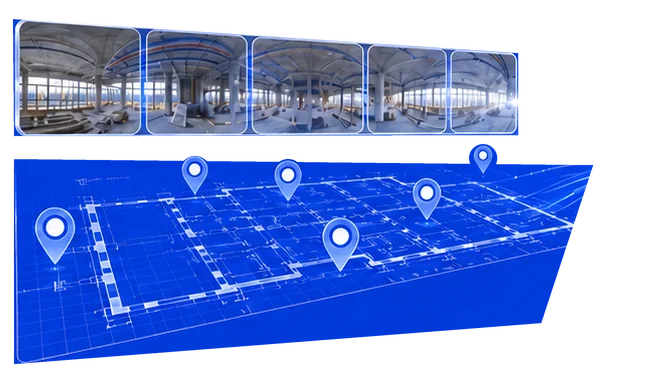


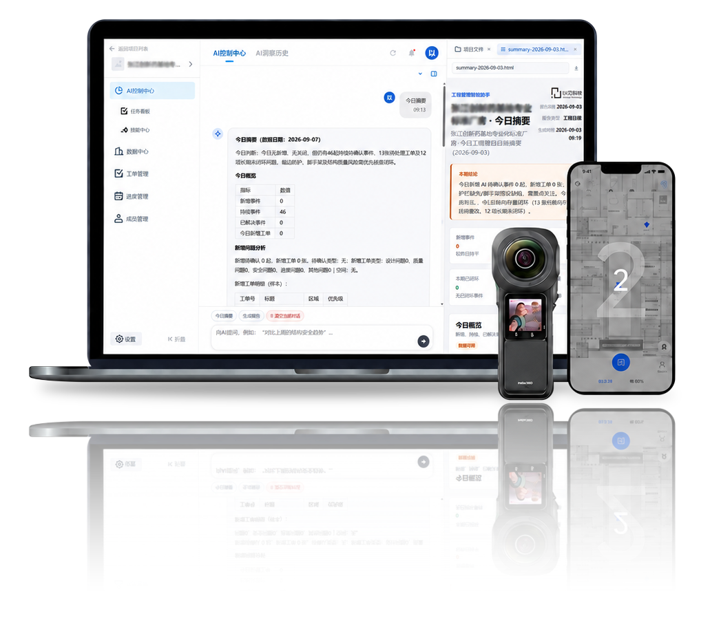
Onesight AI Reality Capture is a construction data-intelligence platform from Onesight Technology. It organizes site imagery by time and location, using multimodal AI to support site understanding, issue discovery and report summaries.

Connect isolated information and reconstruct the site from multiple perspectives
Link time and space to keep critical milestones visible
Use consistent recognition and semantics to improve decisions
Retain the full process for review and organizational learning
Turn scattered site photos into locatable, comparable, and traceable engineering data.
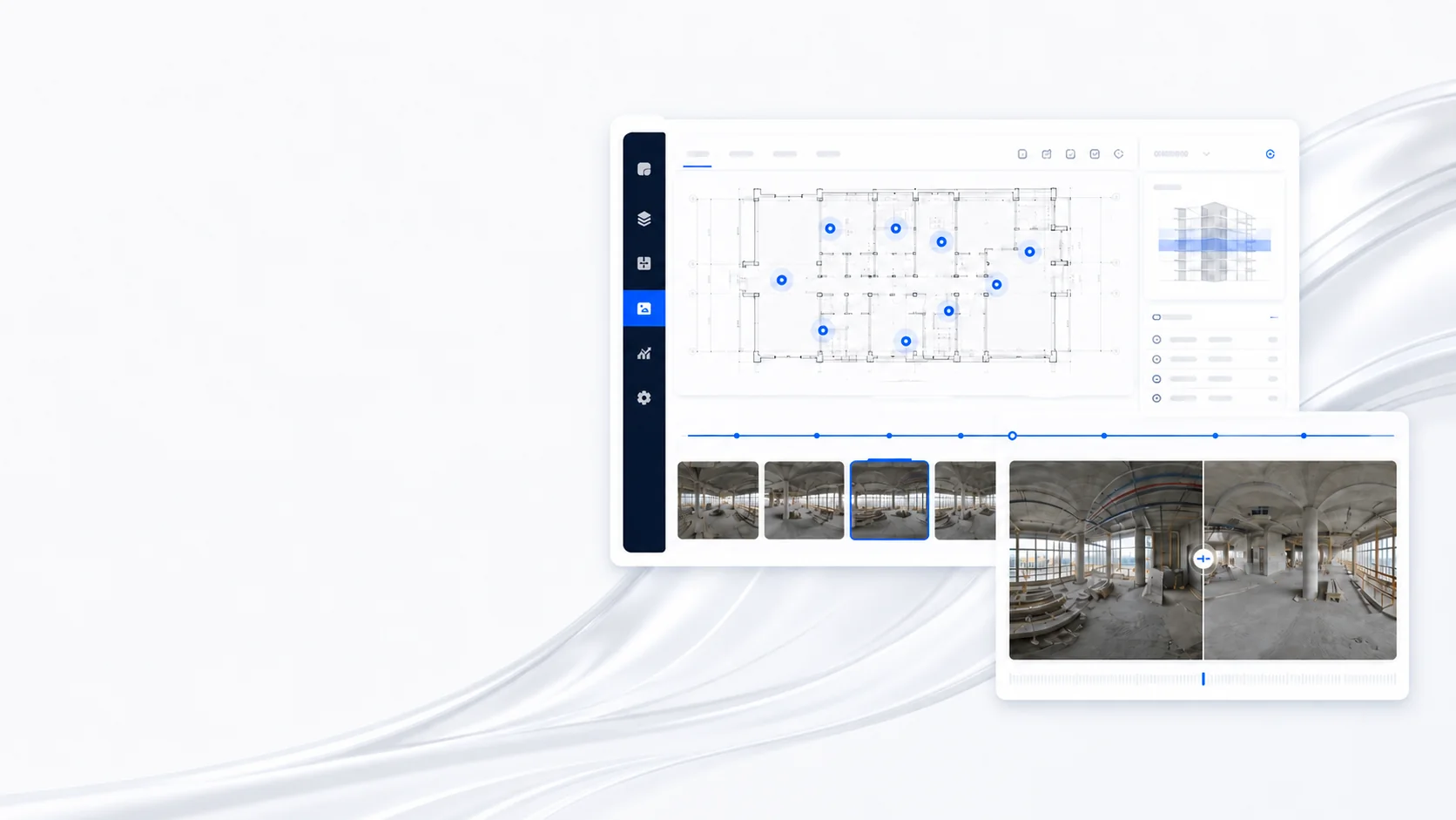
Mark capture locations on drawings and link imagery precisely to space
Follow the timeline to see site changes and project evolution
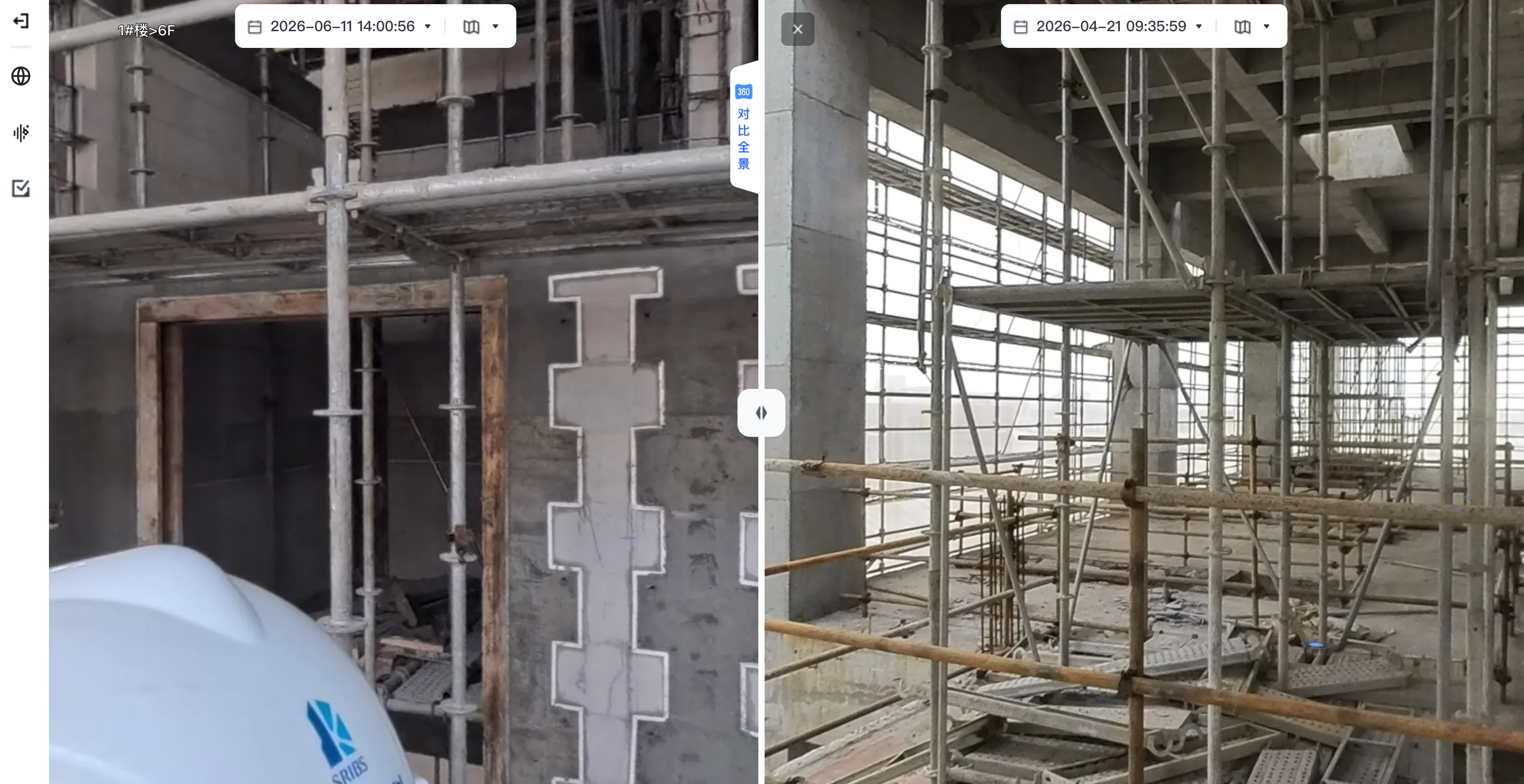
Compare the same location across dates and see changes clearly
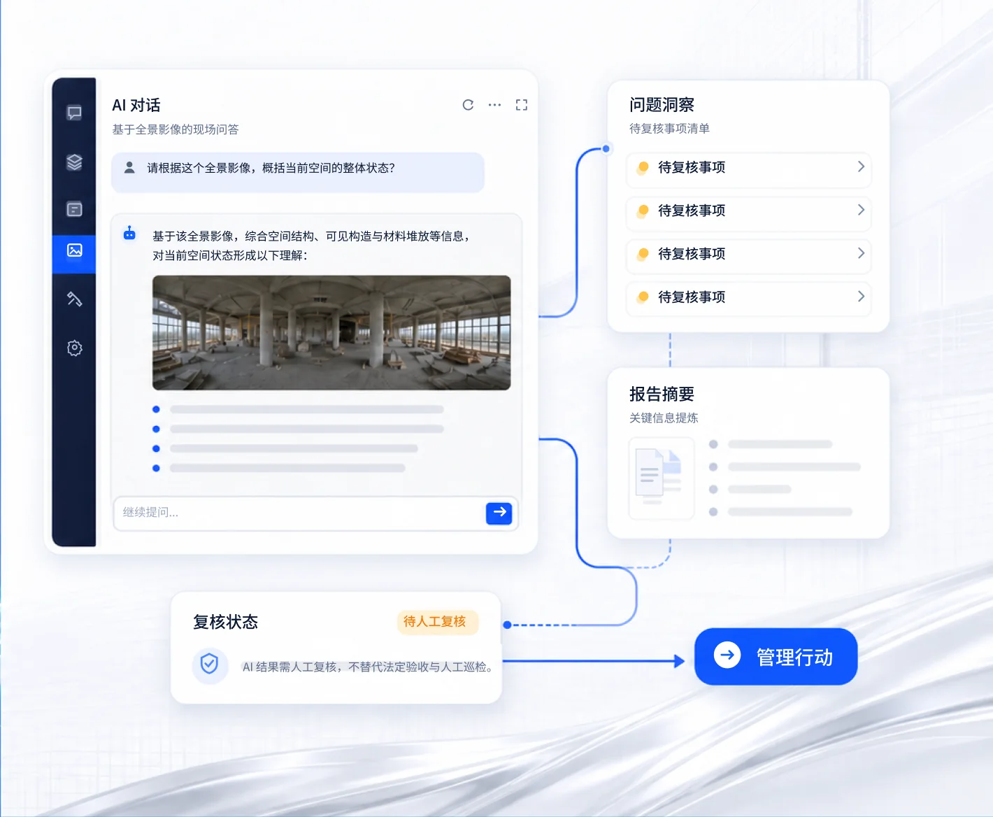
Multimodal AI combines site imagery, drawings, and project information to produce reviewable status interpretations and issue leads.
Ask questions about site imagery and obtain insights quickly
Connect drawings and records to understand spaces and assemblies
Surface anomaly signals as items ready for human review
Extract key points into concise, reviewable summaries
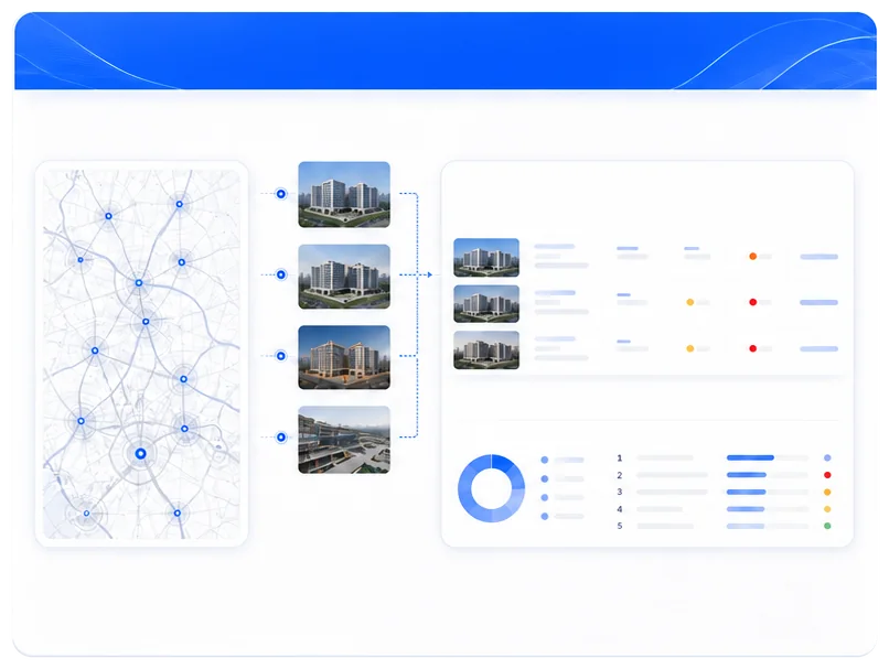
A multi-project view of real progress and risk
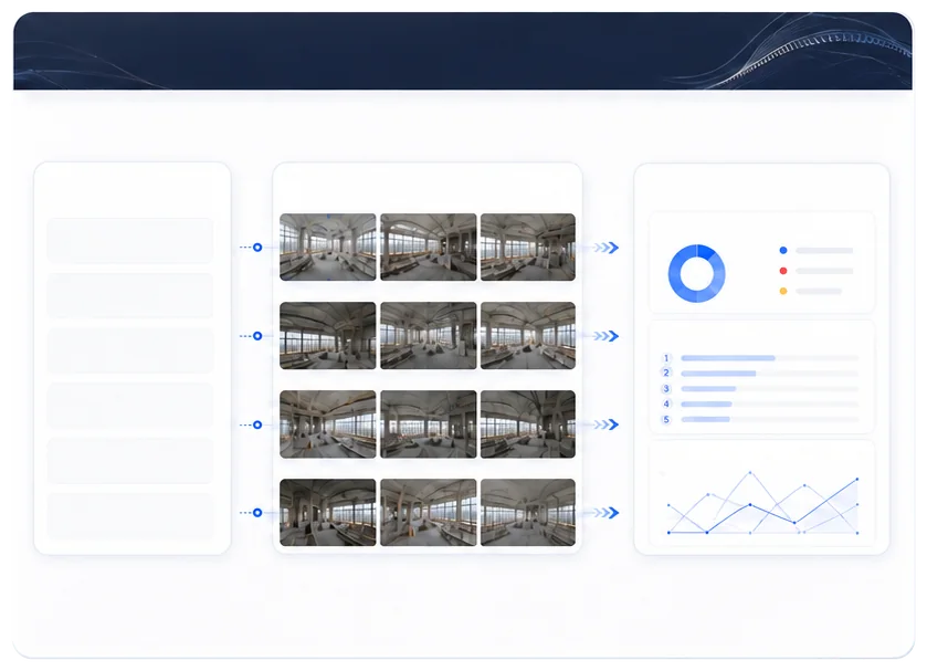
Standardized management and stronger cross-project coordination
Build an AI management capability that improves continuously with enterprise standards
Onesight AI Reality Capture combines site imagery organized by time and location with drawings and project information. Multimodal AI helps teams understand site conditions, identify issue leads and prepare summaries to inform project management.
Start with imagery captured on site, supported by drawings, capture locations, dates and project information. These records become locatable, comparable engineering data. Preparation can be discussed for your project.
Browse the site by date and location, compare imagery of the same location across dates, and ask AI questions about the imagery. Outputs include site interpretations, issue leads and report summaries for project follow-up.
It supports engineering teams that need to understand one or more projects remotely, review changes over time, reduce manual image sorting and reporting, and retain traceable management records.
AI helps interpret site conditions and identify potential issues. Managers review the findings against site conditions, drawings and project requirements before arranging checks, corrective work and further action.
AI Reality Capture focuses on organizing and understanding site imagery for management. AR Construction Assistant uses AR and BIM to help site teams understand and apply design models. Select the product that fits your imagery management, construction guidance or verification needs.
Use the free registration link on this page to access the platform. Contact Onesight Technology through the website to discuss project suitability and preparation.




 See multiple projects clearly
 Make progress easier to understand